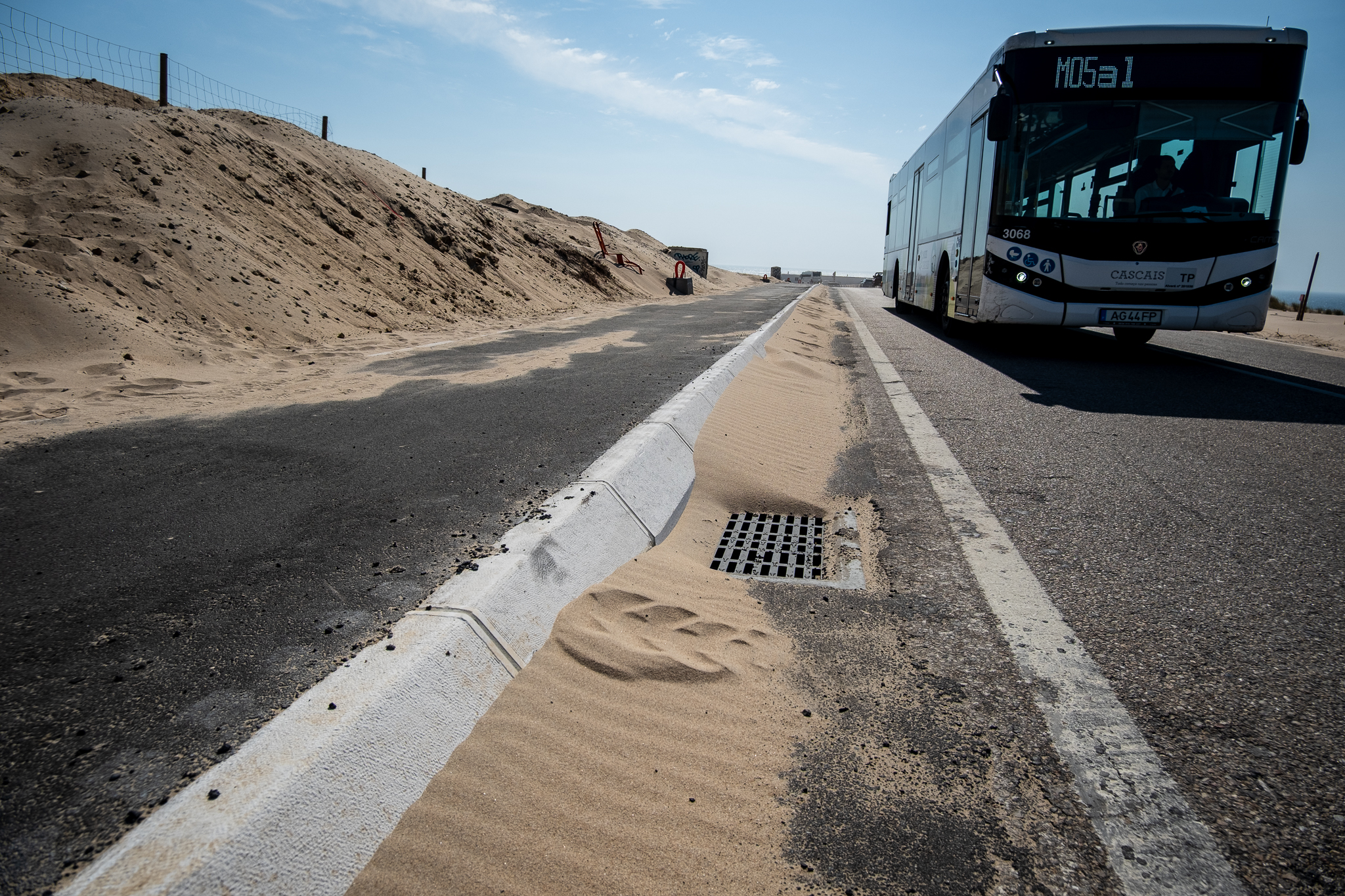
Os horários e percursos da Carris Metropolitana já estão disponíveis no Google Maps. Na área metropolitana de Lisboa, os Transportes Colectivos do Barreiro (TCB) são agora o único operador ausente da maior aplicação de mapas do mundo.

As informações da Carris Metropolitana estão, desde a semana passada, disponíveis no Google Maps, uma das aplicações de navegação mais conhecidas e utilizadas em todo o mundo. Com a chegada da Carris Metropolitana ao Google Maps, os Transportes Colectivos do Barreiro (TCB) ficam isolados como a única operadora em toda a área metropolitana de Lisboa (amL) que está fora desta plataforma.

A disponibilização de informação da Carris Metropolitana acontece mais de seis meses depois do início da operação na Margem Sul e um mês depois do arranque na Margem Norte. Durante este tempo, a oferta da Carris Metropolitana esteve, no entanto, disponível nas plataformas Moovit e CityMapper, assim como no site oficial do serviço.
Entretanto, os dados oficiais da Carris Metropolitana que alimentam todas estas aplicações já estão disponíveis, em formato aberto e de acordo com a norma GTFS, no GitHub e no Dados.gov, o portal de dados abertos do Governo português. Isto significa que qualquer pessoa pode utilizar esta informação para qualquer fim, seja para o desenvolvimento de uma nova aplicação inovadora ou para o trabalho académico, por exemplo.
Todos menos os TCB
Com a Carris Metropolitana no Google Maps, é agora possível pesquisar a oferta de transporte público de praticamente toda a amL, consumando um desejo antigo de muitos passageiros: ter todas as informações dos transportes numa mesma app, que preferencialmente já tenham instalada no seu telemóvel. Tal só ainda não é possível em pleno porque dos nove operadores de transporte público que operam na amL, continua a haver um ausente do Google Maps: são os Transportes Colectivos do Barreiro (TCB), a operadora municipal de autocarros do Barreiro. Para saber os trajectos e horários dos TCB, é preciso ir ao site da operadora, instalar a aplicação iOS/Android própria, ou recorrer às plataformas Moovit ou CityMapper.
No Google Maps, já é possível consultar as mais de 700 linhas e 12 mil paragens da Carris Metropolitana, bem como todos os respectivos horários, de modo a encontrar o trajecto mais rápido ou vantajoso para ir de A a B, tendo em conta toda a restante oferta de transporte público. As linhas da Carris Metropolitana estão assinaladas com as suas cores oficiais: a vermelho as Linhas Longas, a laranja as Linhas Rápidas e a azul as Linhas Próximas (que têm geralmente percursos circulares, dentro de bairros ou localidades).
“Como a ideia é deixar o carro em casa e seguir viagem de transportes públicos, a integração da Carris Metropolitana na Google pressupõe que o passageiro tenha ainda acesso a todas as ligações com os outros meios de transporte que circulam na área metropolitana de Lisboa (amL)”, indica a Carris Metropolitana em comunicado.