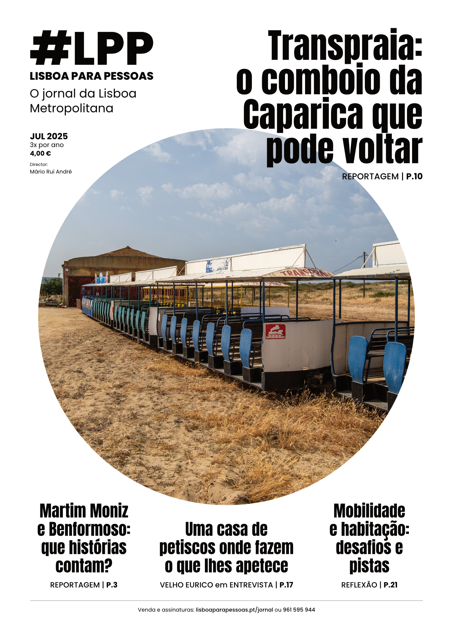
Tool was developed in the context of the Citizens' Council.

A small tool developed in the context of the last Citizens Councildedicated to the "15 minute city", allows anyone to see what's near their residence, workplace, or neighborhood. The map was developed by Manuel Banza, data scientist and city enthusiast, for help participants understand the concept of the "15-minute cityby Carlos Moreno.
What is the "15-minute city"?
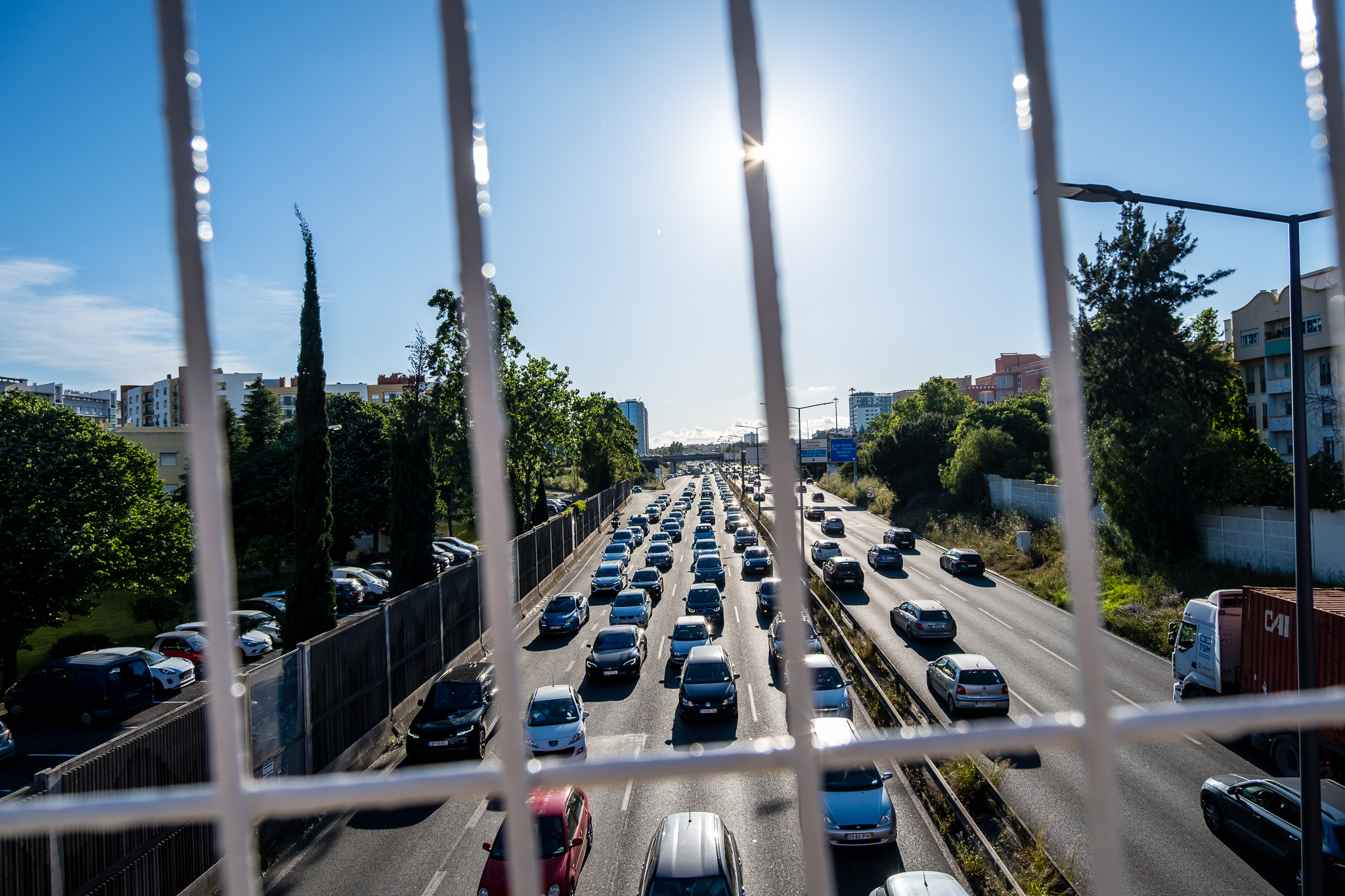
The "15-minute city" is an idea of urbanism in which the territories of cities and metropolitan areas are thought of around proximity rather than mobility. The intent is to create multifunctional neighborhoods where we can meet most of our daily needs - living, working, consuming, accessing care, educating, and enjoying. That way, we can trade car mobility for walking and biking that takes no more than 15 minutes - and if we need to go further, we can do so by public transport and within a 30-minute radius.
To use this tool:
- put your home or work address in "Search";
- selects the desired travel mode (walking or cycling) and a maximum proximity radius (10, 15, or 20 minutes);
- activates, on the right side, the equipment and services that you want to see nearby.

The experience of using this tool - which you can open in a full window by clicking here - é better on a computer or tablet.
About the "15-minute city", you can see here the ideas that came out of the Citizens Council and read here about municipal program There's Life In My Neighborhood.