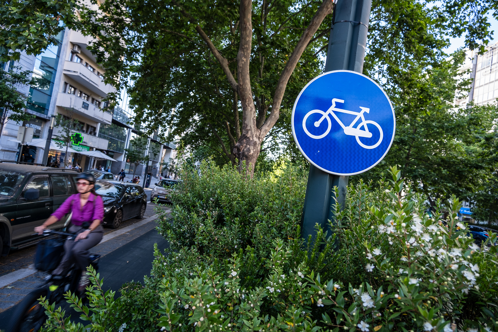
EMEL has already prepared the preliminary program for the requalification of Lisbon's riverside bike path, a leisure bike path that may also have a "commuting nature". The goal is to "standardize, complete and materialize" a continuous cycling connection along the river, between Algés and the Trancão cycling bridge.

O Carlos Moedas' electoral program had left only one certainty about the cycling network: the requalification of the riverside bicycle path, which today presents several discontinuities and connects the municipalities of Loures and Oeiras through the Lisbon riverfront. The plan is moving forward: EMEL already has a preliminary program and a public tender is now open to find someone who will develop the preliminary studies and the execution project; afterwards, a contractor will have to be found to carry out the work, whose initial forecast is that it will cost 2.5 million euros and take almost a year to execute.
According to the preliminary program, the Lisbon City Hall wants, through EMEL, the municipal company responsible for the city's cycling network, "to standardize, complete and materialize a riverside cycling connection between Algés and the Trancão cyclopedestrian bridge (...), promoting the improvement of existing sections and filling in the gaps in the cycling network on the identified route". The objective is not only to offer a connection along the river between Oeiras and Loures, but "establish cross-cutting connections along the route" - that is, that the riverside axis allows access to the innermost part of the riverfront, overcoming the barrier of the railway line and the two large marginal avenues.

"Cross connections should promote the connection to existing bikeways, public facilities, intermodal stations and other themes that promote micro-mobility, thus allowing to combine the leisure aspect of a bikeway along the river (longitudinally) with the daily commuting aspect through cross connections at key points"you can read in the preliminary program of the intervention.
The riverside bicycle path currently develops along approximately 22 kmbetween the existing Belém-Algés cycling path and the the new Trancão cyclopedestrian bridge, which is being built at Parque das Nações and will connect to Loures (where, in turn, a cyclopedestrian walkway is under construction that will connect to Vila Franca de Xira). In addition to resolving the discontinuities in the current riverfront connection and the establishment of cross connections to the innermost part of the city, the Câmara and EMEL also want:
- improve pedestrian mobilityWe will do this by separating the cycling channel from pedestrian space (to avoid conflicts between the two modes of mobility), increasing the width of sidewalks along the bike path, introducing comfortable, slip-resistant sidewalk, and providing the entire path with full/universal accessibility for walkers;
- promote the physical continuity of the bicycle path, in order to ensure the comfort and recognition of the route by users, avoiding interruptions. Whenever possible, the bike path should have a usable width of 3.00 meters (if bidirectional) or 2.00 meters (unidirectional), without sections with sharp turns or "loops". Pedestrian channels should be at least 1.50 meters long and the continuity of these paths should also be ensured;
- increase the shading and tree-planting of public space along the cycling corridor, mitigating heat island effects (the riverside area is one of the most critical) and enhancing the landscape. In addition to trees, shade can be achieved with pergolas and vines;
- increase soil permeability and avoid the accumulation of water in the cycling channel, using plant elements to promote the infiltration of this water and creating a good drainage system with grids that do not hinder the movement of bicycles;
- create new resting and support areas associated with the bike path to promote outdoor leisure activities, for example, with benches, drinking fountains, chargers for electric bikes, wi-fi points, workshop points, bike parking, lockers, food and drink vending machines, etc;
- make new GIRA stations availableIn addition to the bike path, there will be bike racks, virtual docks to stop bikes and shared scooters ("hotspots"), and recreational bike rental points - not only in the bike path area, but also at the upcoming cross connections;
- improve lighting throughout the route with LED technology and sensors that are photosensitive to the passage of people or the degree of illumination at night, and ensure the safety of all users, particularly at intersections with car traffic;
- standardize signage throughout the intervention, except for the artistic/copyright sections, which will have to be maintained, and optimize the number and location of vertical signaling elementsIn order to reduce visual pollution, and favor the use of horizontal signs.

EMEL recognizes that, in the intervention area, "there are pre-existences that condition the continuous path of the bikeway, as well as connections to existing bikeways and main axes"It also includes the Cascais line, the different docks, the sections of the author's bike lane (which have the phrases), the Cais do Sodré and Terreiro do Paço squares, and the territories under the administration of the Port of Lisbon. "Existing discontinuities, largely resulting from identified pre-existences, should be analyzed and their resolution suggested in design." Another point of the preliminary diagnosis concerns the "high vulnerability to flooding" and the "high seismic risk" of the bike path area.
This diagnosis will now have to be deepened from the preliminary program now known. A preliminary program is, in short, a document that describes the general idea of the work to be done so that the architects can develop the more detailed documents, such as the preliminary study and the execution project. That is, a preliminary program is a kind of briefing where the priorities of the intervention, the main objectives and the general characteristics of what is to be designed and built are to be found. The preliminary program can establish estimates of costs and the duration of the project, but only with a preliminary study and an execution project - documents that will now have to be prepared - will it be possible to move forward with the work itself.
Work for 2024/25
EMEL is looking for an entity that will develop the preliminary study and the execution project, along with other documentation that is necessary in a contracting processfor which a public call for tenders was opened on the platform Vortal with the base value of 315 thousand euros. The company that is selected in the bidding will have 60 days to develop the preliminary study along with a diagnosis, a topographical survey and a traffic study; in this work it will have to identify the discontinuities and the state of conservation of the existing stretches, and propose solutions according to the guidelines we have dealt with above. The same company will also have to license the work (60 days) and prepare the final execution project (90 days). All together, this will take 210 days.
All told, if this work is awarded this year, it should be ready by mid-2024. Then another public tender will have to be launched, this one to find a company to execute the work. EMEL estimates that it will cost 2.5 million Euros and take 10 months, so if the contract is launched next year, it could be ready sometime in 2025. "After the intervention, the space should present reduced conservation and maintenance costs and the materials that compose it should have a high degree of resistance and durability"EMEL indicates in the preliminary program.
